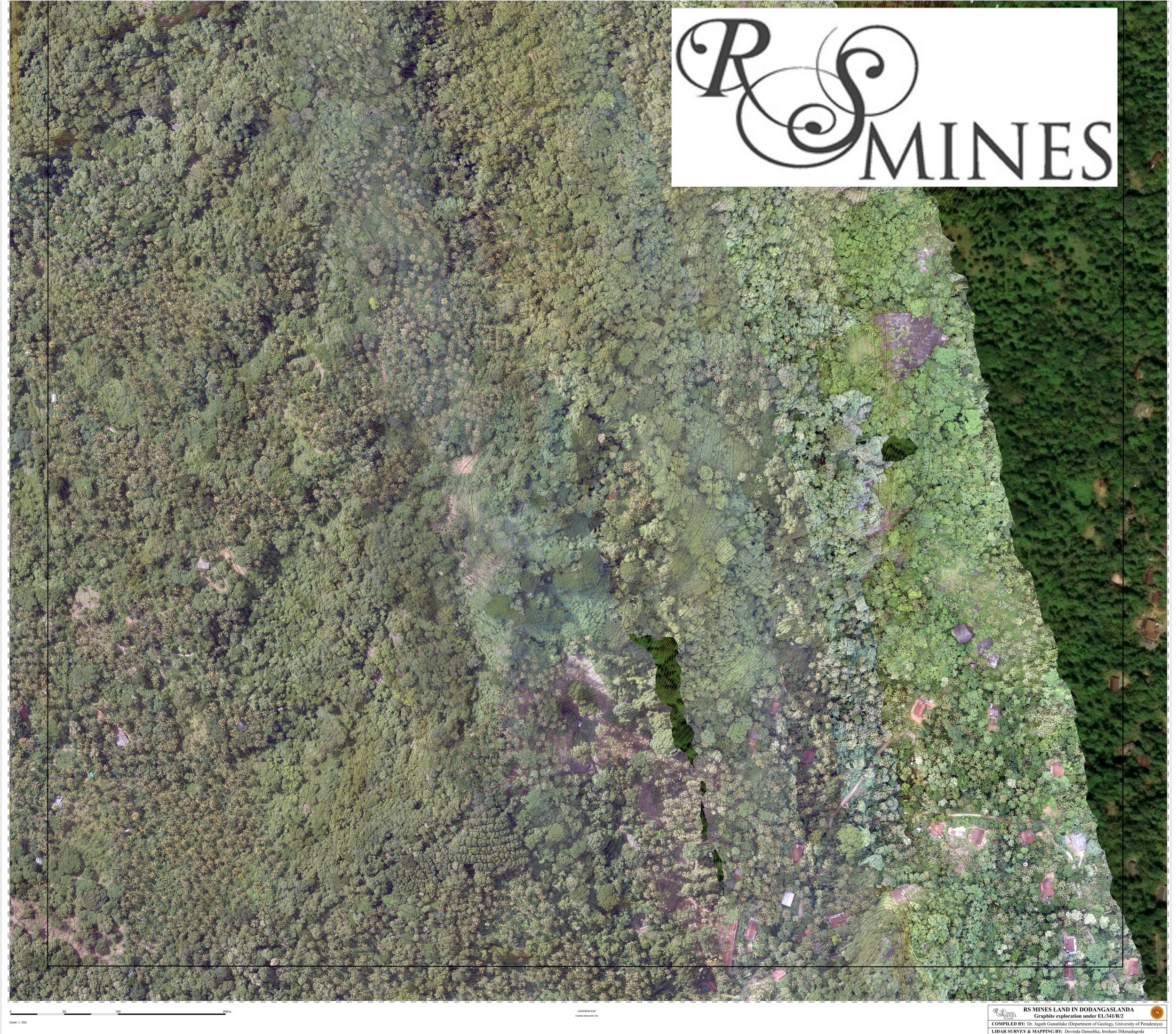
RS MINES, The Queen’s Mine, GSMB Drone Survey Results and Land Surveying
RS MINES Completes GSMB Drone Survey of RS Mines’ 1 Square Km Exploration and Mining Grid and completes Land Surveying of 78.5 acres in association with the Local Land Registry Authority, Divisional Secretary, and the Provincial Environmental Agency.